MENVIPRO Second Day on GIS and Remote Sensing
July 25, 2019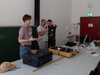
During the second day of MENVIPRO visit to the Institute of Geosciences and Geography of MLU Max Horold presented the multiscale, multisensoral and multitemporal approach in landscape analysis, such as LULC, vegetation, geomorphology, soils and provided selected examples of landscape visualisation and analysis.
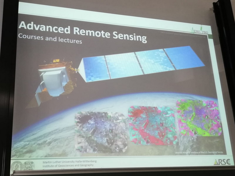
After Dr. Michael Denk introduced the course of Advanced remote sensing including its aims, the preparation of the students for the needs of the labor market, and thematic topics. Later, Dr. Mike Teucher presented the stereoscopic viewing of remote sensing data Angren/Usbekistan, introduction to stereoscopic viewing of satellite imagery using ArcPro (commercial) and facilities (room-specific), demonstrating potential of QGIS to view three-dimensional datasets with QGISThreeJS with an example of Mt. Elgon (Kenya).
In the second part of the second day, the participants had a short trip to Brachwitz where the local team demonstrated the in situ observation of the test site and in situ use of the equipments.